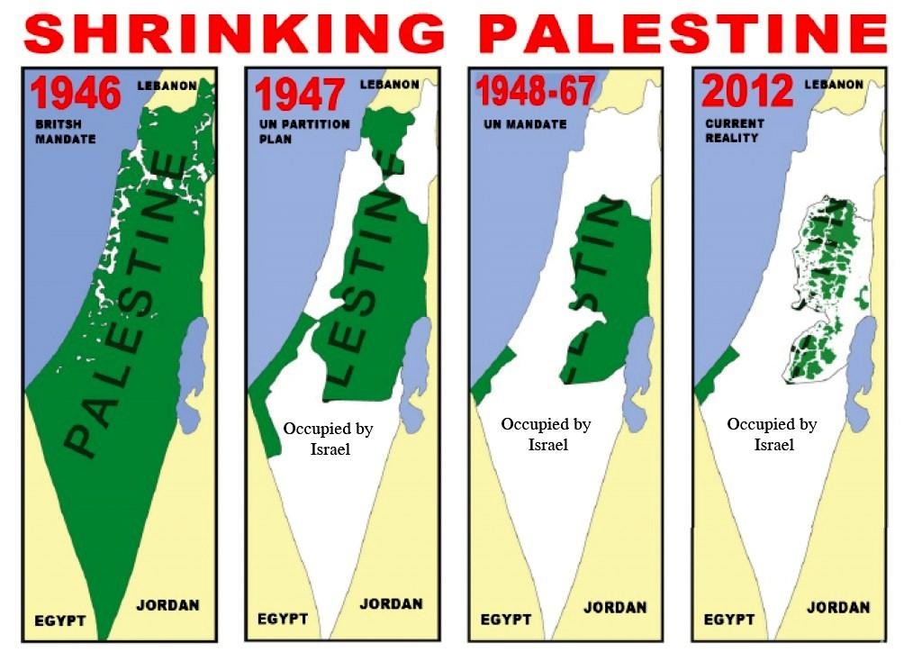
Blight Supremacy: Satellite Imagery Shows Erasure of Southern Gaza as Israel Expands Control, Slaughters Humans
/
From [HERE] Palestinian journalist Muhannad Qishta yearns to visit the graves of his sisters – Reem and Walaa – in Khan Younis in southern Gaza, but there is a problem: they no longer exist on a map.
The Sheikh Mohammed cemetery in the Maan area of Khan Younis has been wiped from the map, and replaced by the tents and armoured vehicles of an Israeli military outpost, according to recently updated satellite imagery added to Google Earth.
“Even the dead have not been spared from this war,” Qishta told Al Jazeera. “How will I feel if I go and find the place a desert, without my sisters’ graves to read a prayer over?”
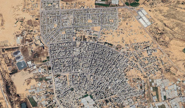
The high-resolution pictures, captured on February 25, 2026, expose a landscape where entire neighbourhoods have been reduced to ash, and the surviving population is squeezed into suffocating encampments that spill onto the beaches of the Mediterranean Sea.
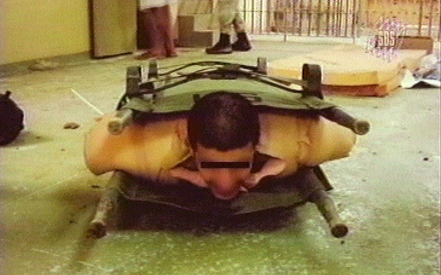
For Palestinians, the updated maps provide a devastating, wide-angle view of an ongoing genocide that has probably killed nearly [2 million people].
According to the Euro-Med Human Rights Monitor, Israeli forces have fully or partially destroyed 94 percent of Gaza’s cemeteries, transforming places of memory into military barracks. [MORE]