
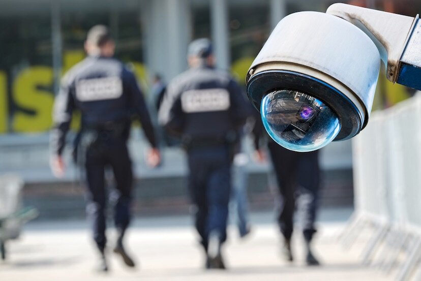
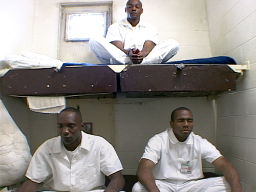
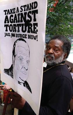
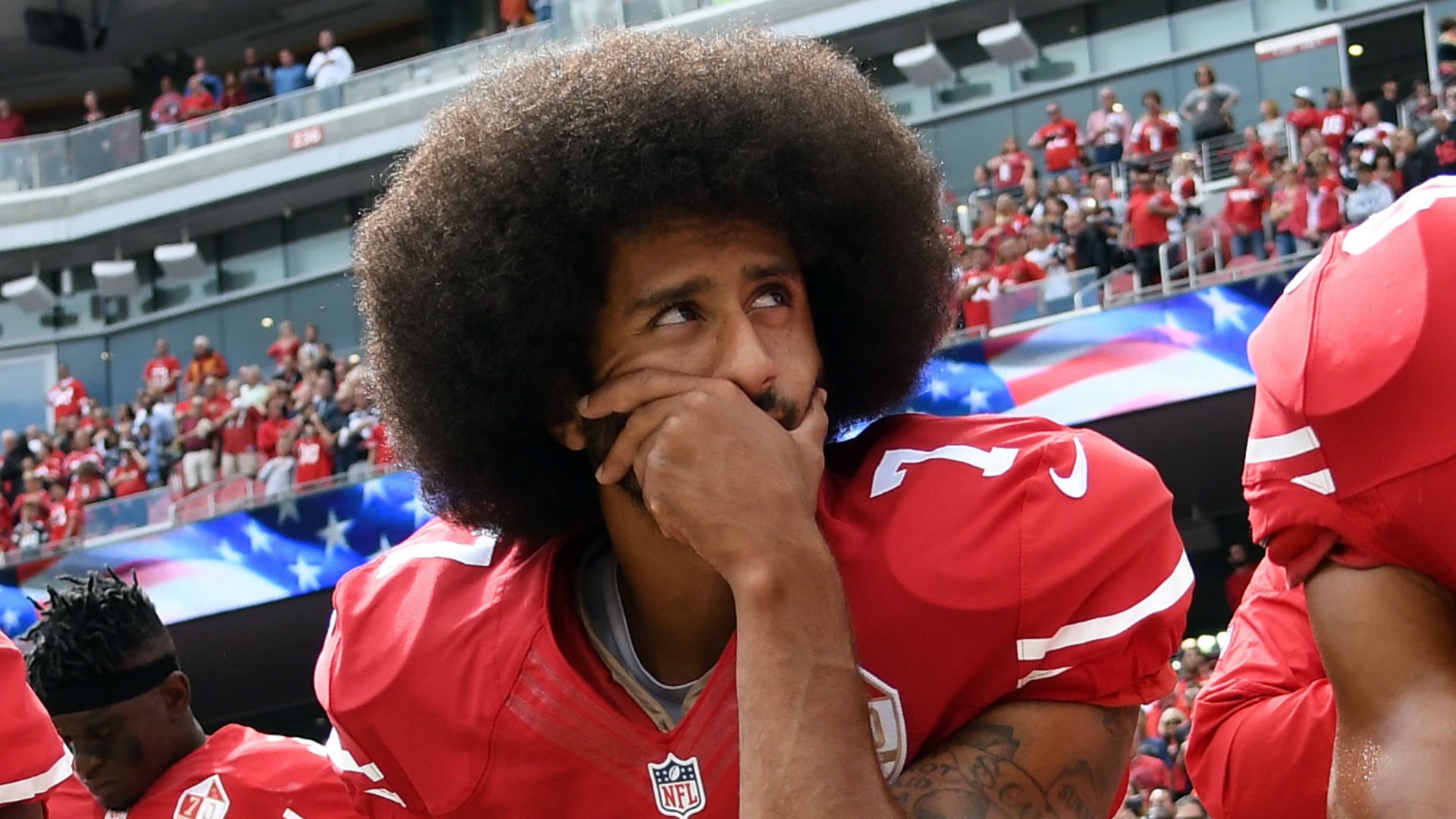
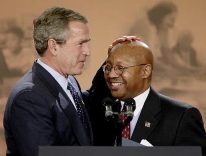
Black, Latino & Low Income communities are the Most Vulnerable to Disaster
/From [HERE] Hurricanes don’t care if you’re rich, poor, white or black — but that doesn’t mean that every person is equally vulnerable to a storm. Low-income families are more likely to live in flood-prone areas with deficient infrastructure.
Hurricane Harvey is yet another example of this pattern. While large parts of Houston flooded, low-income neighborhoods fared worse than wealthier areas.
“Oftentimes, low-income communities and communities of color don’t get the necessary protection when it comes to flood control,” said Robert Bullard, a professor of urban planning and environmental policy at Texas Southern University in Houston. “That pattern is playing out now.”
Poverty is a risk factor when it comes to extreme weather. (“Authorities Urge Louisiana Residents To Evacuate Dangerous Lower Income Brackets,” read a recent headline from satirical news outlet The Onion.)
“[Houston] is a southern city. Generally, the way that the city has grown and the way that the housing and residential patterns have emerged have often been along race and class lines,” Bullard said. Discriminatory housing policies have “restricted or, in some cases, confined poor people and people of color to less desirable areas when it comes to flooding and other kinds of land uses,” he said.
Bullard says Houston spends more on infrastructure in wealthier neighborhoods. That means bicycle lanes and jogging trails but also embankments that keep floodwaters at bay. Low-income communities tend to lack these features. And, as Houston political activist Tawney Tidell explained, “Some of the only subsidized housing in the area was built in one of our many 100-year floodplains, designated as high risk zones for flooding by the Federal Emergency Management Agency.”
In Houston, these tend to be communities of color. A history of red-lining and economic inequality have conspired to make it one of the most racially segregated cities in the country.
“If you go into some areas, low-income areas, there are no sidewalks. There are no drainage systems other than very crude, open ditches,” Bullard said. “When it floods in a lot of low-income areas, it just runs into open ditches, and the ditches overflow. The other areas have more sophisticated flood control.”
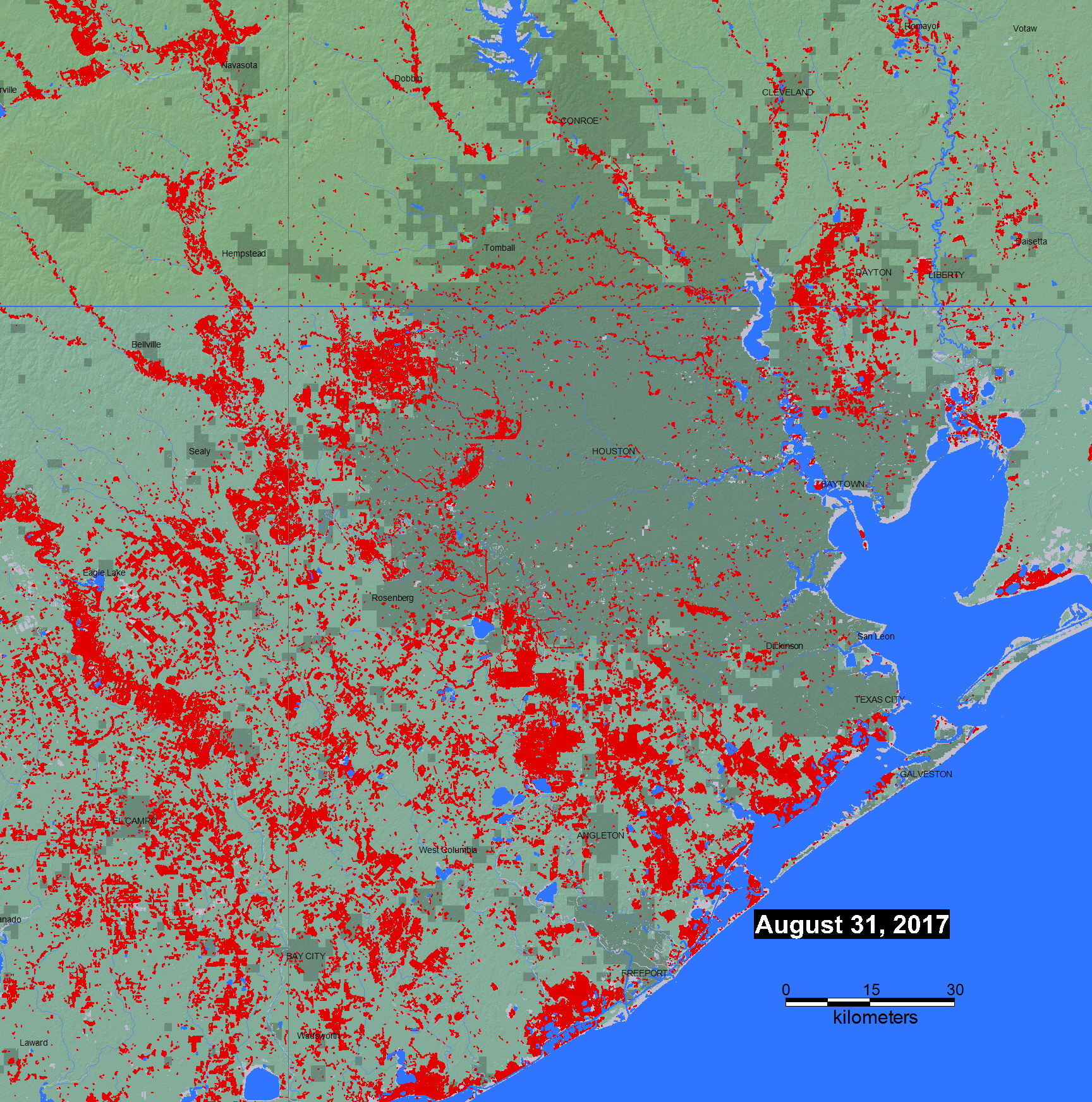
The map below shows the distribution of floods across the greater Houston area. The red spots represent the maximum observed flooding during Harvey, as shown in this map from the Dartmouth Flood Observatory. Notably, flood data are incomplete in heavily wooded or urban areas. Trees and buildings obscure the view of satellites recording the extent of floods. So, in central Houston, the flooding is likely much worse than the map suggests.
The flood data have been overlaid on a map illustrating social vulnerability by census tract. People are more vulnerable to natural disasters if they are poor, elderly, disabled, don’t own a car or can’t speak English. The Social Vulnerability Index, developed by the Centers for Disease Control and Prevention, accounts for these variables and more. [MORE]


